[Updated 2007.04.17 21:40 EDT: Removed bad link in title.]
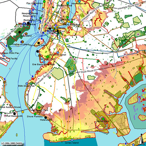
This maps shows Brooklyn impact zones for Category 1 through 4 coastal storms. OASIS recently added this layer to their already invaluable Web mapping service.
You can view the live map, where you can zoom in or out, select different layers and labels, and see how your neighborhood is affected.

